The Forsmark site
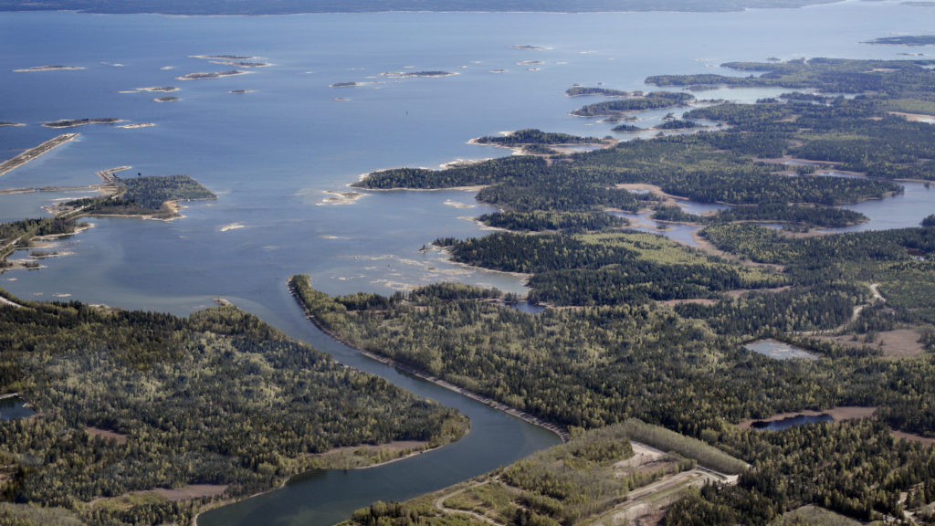
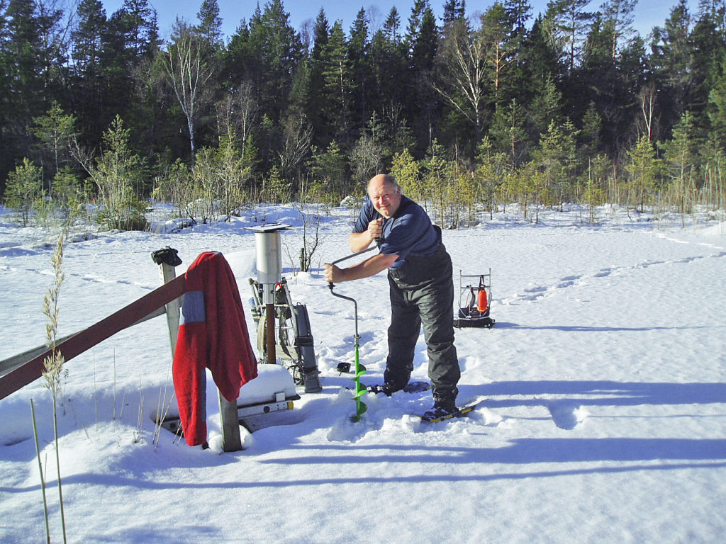
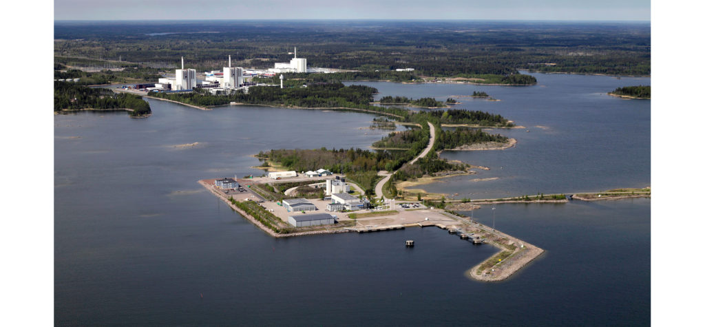
The Forsmark area is situated on the eastern coast of Sweden, c. 120 km north of Stockholm. The site investigation area is characterized by a low relief with a small-scale topography. The study area is almost entirely below 20 metres above sea level. Forest is the dominating land cover.
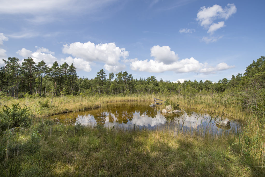
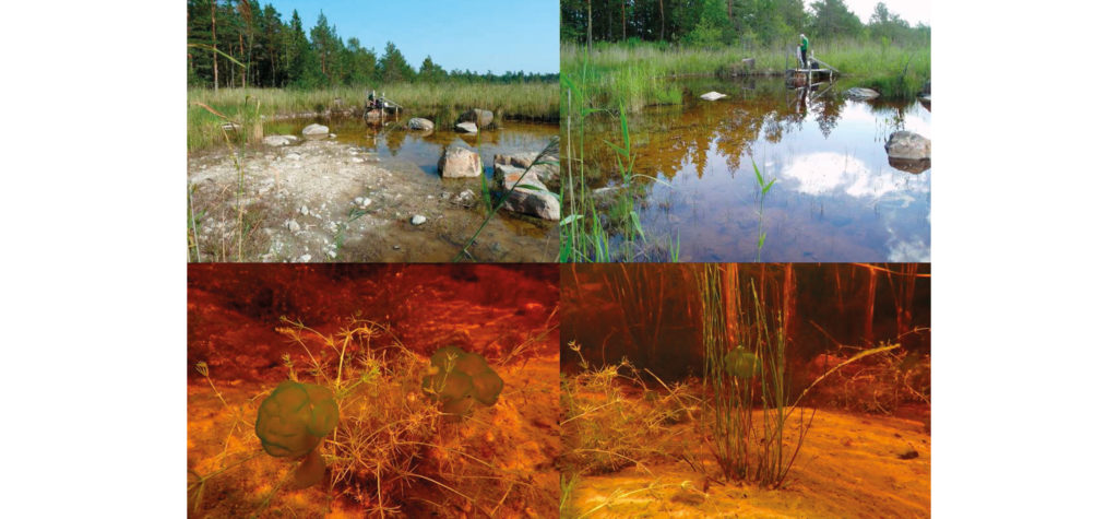
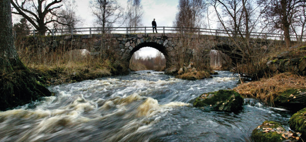
The main lakes all have sizes of less than one km2 and are quite shallow. No major water courses flow through the central parts of the site. Wetlands are frequent and cover more than 25% of some sub-catchments. Till is the dominating Quaternary deposit (QD), covering c. 75% of the terrestrial area. Bedrock outcrops are frequent, but constitute only c. 5% of the area. The QD’s are shallow, usually less than 5 m deep. The greatest depth to bedrock recorded in a drilling is 16 m. In the wetlands the organic deposits can rest directly on till, or be underlain by sand and clay above the till.
Site hydrology
The annual precipitation during the site investigation was quite close to the longterm average of 559 mm estimated by SMHI (the Swedish Meteorological and Hydrological Institute). For the four-year period of June 2003–May 2007, the mean annual precipitation recorded in the local measurements was 563 mm. The mean annual calculated potential evapotranspiration for the same period was 526 mm. A longterm overall water balance of the area may be estimated based on 30-year precipitation data from SMHI-stations surrounding the site investigation area and the reletively short-term site specific meterorological and hydrological monitoring data, as follows: precipitation = 560 mm/year, actual evapotranspiration = 400–410 mm/year, and runoff = 150–160 mm/year.
Granitic rocks are dominating the bedrock of the area. The bedrock hydrogeology reveals a significant hydraulic anisotropy within the so called tectonic lens, which covers the central part of the site investigation area. The upper c. 150 m of bedrock contains high-transmissive horizontal fractures/sheet joints. Below the uppermost c. 150 m of the bedrock, the high-transmissive horizontal fractures/sheet joints vanish and the conductive fracture frequency becomes very low and the fractures fairly low-transmissive. In some of the 1,000 m deep cored boreholes there are almost no flowing fractures observed below c. 150 m depth.
During events of very high sea water levels, sea water flows into several of the lakes. In connection with these events, the sea obviously has an impact on both surface water and groundwater flow systems in these lakes and their surroundings.
With few exceptions, the infiltration capacity of the soils in the area exceeds the rainfall and snowmelt intensities. The groundwater levels in many monitoring wells in QD were within one metre below the ground all the year, and the groundwater level was on average less than 0.7 m below ground during 50% of the time. Also in what can be considered as typical recharge areas, the average groundwater level was as shallow as 1.2 m below ground. The annual variation of the groundwater level is mostly less than one metre in discharge areas, and 1.5 m in typical recharge areas. The shallow groundwater levels mean that there will be a strong interaction between evapotranspiration, soil moisture and groundwater. Diurnal fluctuations of the groundwater levels, driven by evapotranspiration cycles, were evident in the data from many of the groundwater monitoring wells in the QD.
Direct recharge from precipitation is obviously the dominant source of groundwater recharge. However, the groundwater level measurements in the vicinity of some lakes show that the lakes may act as recharge sources to the till aquifers in the immediate vicinity of the lakes during summer. While the groundwater levels are well above the lake water levels during most of the year, they are considerably below the lake water levels under dry summer conditions. However, due to the low permeability of the bottom sediments, the resulting water fluxes can be assumed to be relatively small.
Last review: January 8, 2020
Last review: January 8, 2020